Well Properties: Wells List
The Wells List area of the Well Properties dialog displays a list of all of the wells in your project. When a single well is selected, all of the information associated with the well will populate the Wells, Tops, Velocity Curves, Log Curves, Synthetics, Directional Survey, and Raster Curvestabs on the right portion of the dialog. When multiple wells are selected, no information will appear on these tabs.
Use one of the following methods:
- Left click on the well in the Wells list. Use the scroll bar if the well is not on the visible portion of the list.
- Left click on the well on the Basemap or in the Seismic Viewer
- Type a portion of the UWI, Name, or Owner into the search bar,
and then left click on the well in the truncated list
Use one of the following methods:
- Drag your right mouse button over a group of wells in the Wells table.
- Press the Control key on your keyboard, and then left click on the wells you want to select.
- Select an area on the Basemap by using your left mouse button. All visible wells in the area will be selected.
- Type a portion of the UWI, Name or Owner into the search bar to truncate the Wells list, and then select the wells.
Use one of the following methods:
- Right click on the well list and select Select All from the shortcut menu.
- From the Edit menu, click Select All.
General Information
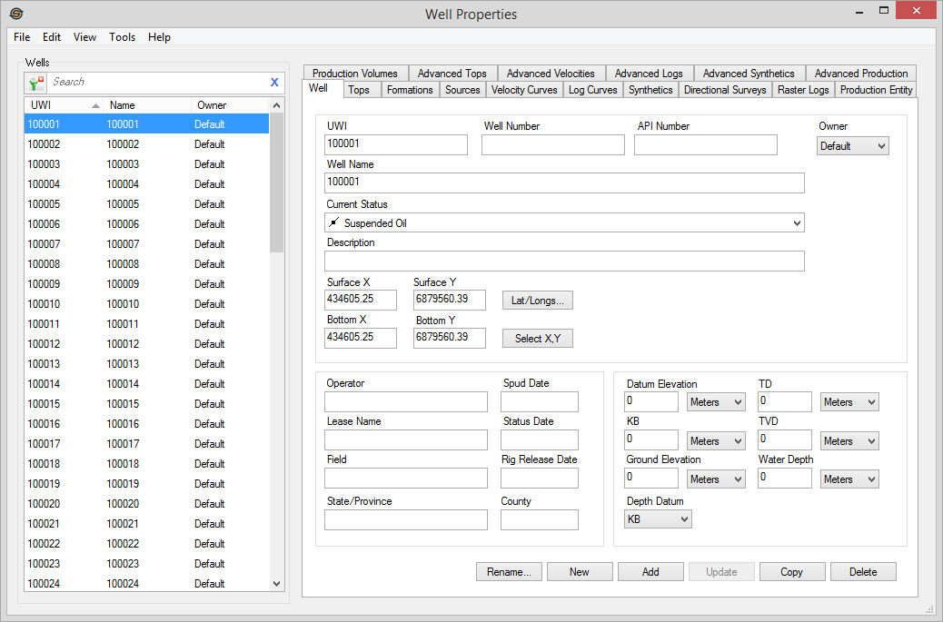
Well List Columns
The Wells table has columns for UWI,
Name, and Owner. Left click on
each column header to sort on that column, or left click and drag the
column header to reorder the columns. Limit the wells that are visible
in the list by applying a filter
(![]() ), or typing a search string
into the search
bar. Use the shortcut menu
to access additional tools.
), or typing a search string
into the search
bar. Use the shortcut menu
to access additional tools.
UWI: A list of unique well identifiers in the project.
Name: A list of the common well names associated with each UWI in the project.
Owner:A list of the owners associated with each UWI in the project.
See Also
— MORE INFORMATION

|
Copyright © 2020 | SeisWare International Inc. | All rights reserved |