Copy Project Data: Coordinate Conversion
Use the Coordinate Conversion page to optionally convert the
coordinates of project
data from one coordinate system to another. This page will
not
be shown unless the coordinate systems of the source and destination
project do not match.
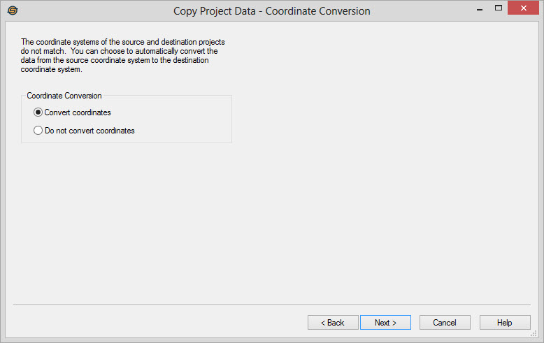
Coordinate Conversion
Specify whether or not to perform coordinate conversion.
Convert coordinates: Select this item to convert the coordinates of the source data before writing it to the destination project.
Do not convert coordinates: Select this item to leave the data in the coordinates of the source project. Normally you will want to let SeisWare automatically convert your coordinates for you. You may want skip the conversion if you have inadvertently mixed data with different coordinate systems in your project.
NOTE: Some data may not convert as expected depending on the coordinate systems you are mapping between.
Grid data may not convert correctly because only the corner points are converted. They may need to be rotated to get properly orientated to the destination coordinate system, which is something SeisWare does not perform. Because of this you may find that your contour data does not match the grids. It is best to redo your gridding and contouring in this situation so that the data properly aligns with the data in the destination project.
In addition raster images may not appear
correctly, because they are also only converted at the
corners.
They may need to be rotated to be properly orientated to the
destination project. It is best to get new raster images
projected to the destination coordinate system in this situation.
— MORE INFORMATION

|
Copyright © 2020 | SeisWare International Inc. | All rights reserved |