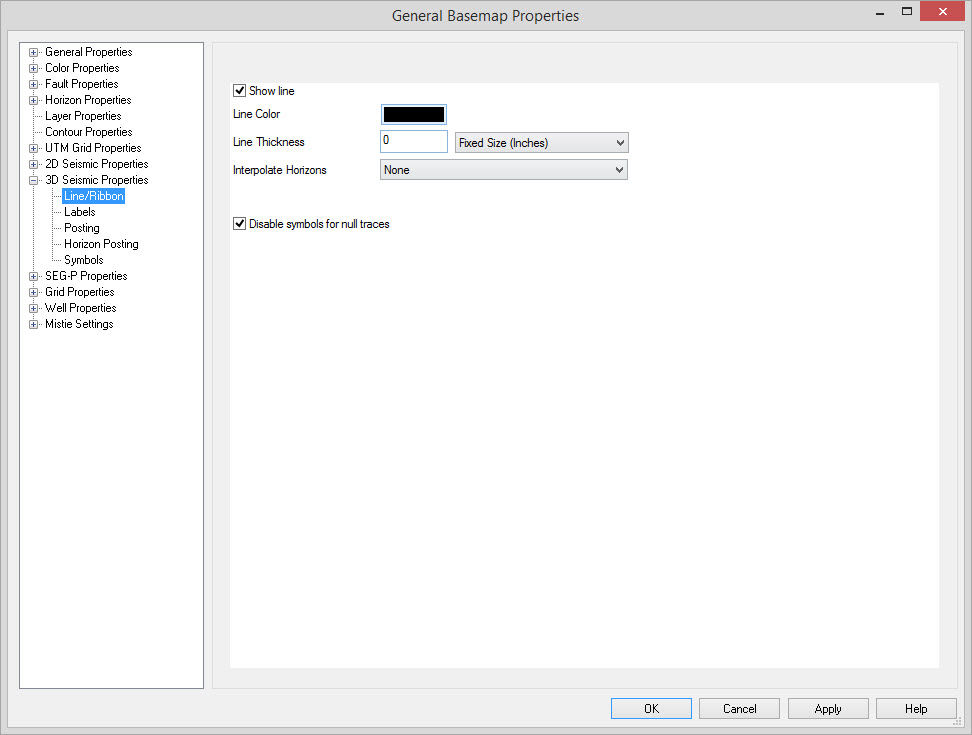
3D Seismic Properties: Line/Ribbon
Use these settings to configure the appearance of 3D lines and their
horizons on the map.
Enable Line
Line and Ribbon Parameters
Line Color: Specifies the color to display the 3D line with.
Line Thickness: Specify the line width to draw the outline of the 3D.
Interpolate Horizons: Turns on interpolation between the horizon picks, giving horizons a much smoother appearance. This settings can be set to "None", "Medium", "Fine", and "Superfine". Note: Drawing and plotting times will significantly increase with this feature turned on.
Disable symbols for null traces: When checked, this will ensure that both symbols and horizon postings do not appear for missing traces on 3D surveys. This will have no effect on surveys that have been padded. This will also have no effect on traces that are marked as dead, as we do not support this flag.
Note: Fixed sized objects will remain the
same regardless of the map scale. Variable sized objects will change
size with the map scale.
Also See
— MORE INFORMATION

|
Copyright © 2020 | SeisWare International Inc. | All rights reserved |